
Sam Sagnella ⚡️
@SamSagnella
1,595
Followers
3,999
Following
1,758
Media
12,120
Statuses
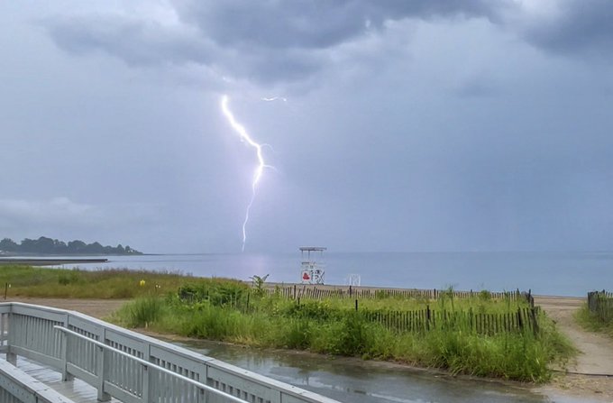
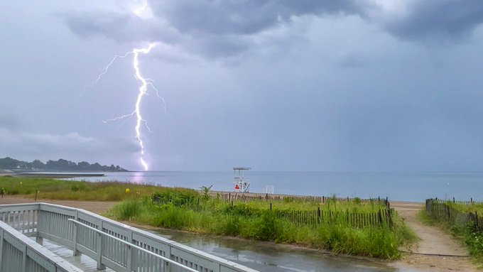
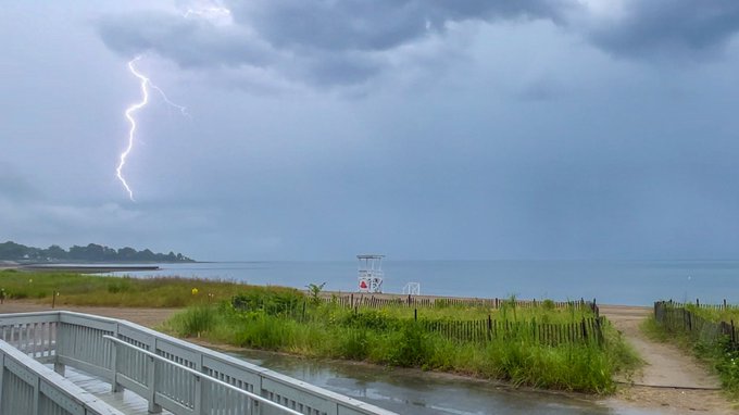
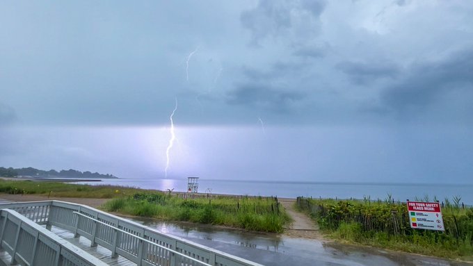
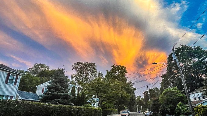
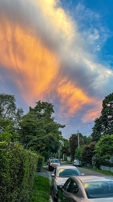
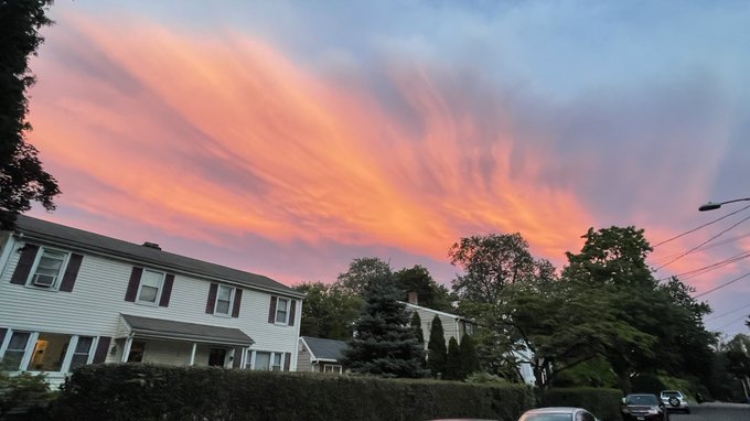
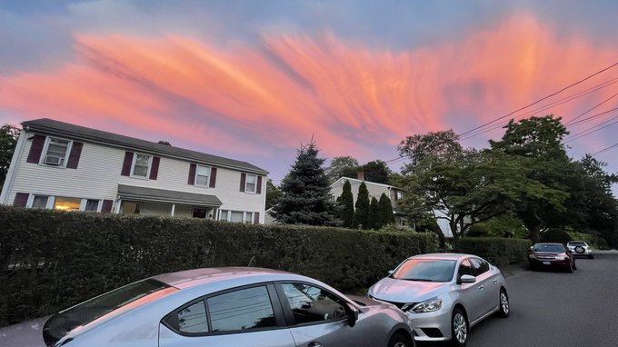
Meteorology geek, storm chaser, law firm assistant, dryer vent cleaner, stringer for @LiveStormsMedia . Smiles are contagious☀️
Connecticut, USA
Joined September 2010
Don't wanna be here?
Send us removal request.