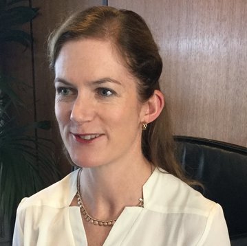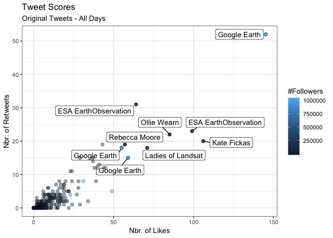

Dr. Kate Fickas
@katefickas
5,254
Followers
5,299
Following
188
Media
2,113
Statuses
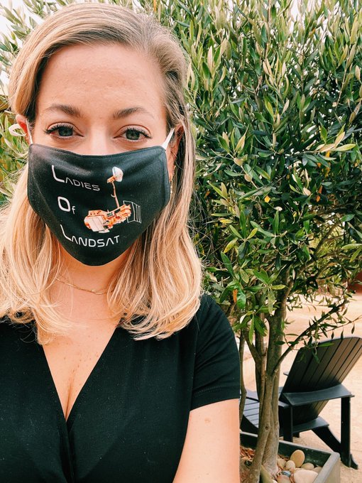
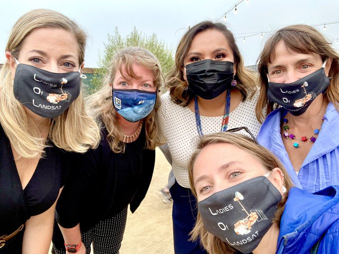
@Esri Director of Imagery & Remote Sensing Solutions 🛰️📷🌍🗺️ | @UCSB Research Faculty 📓 | @LadiesOfLandsat Founder 💪🏻| Prev: @USGS Mendenhall Fellow 🌦️📈
Don't wanna be here?
Send us removal request.