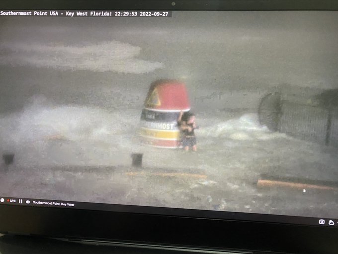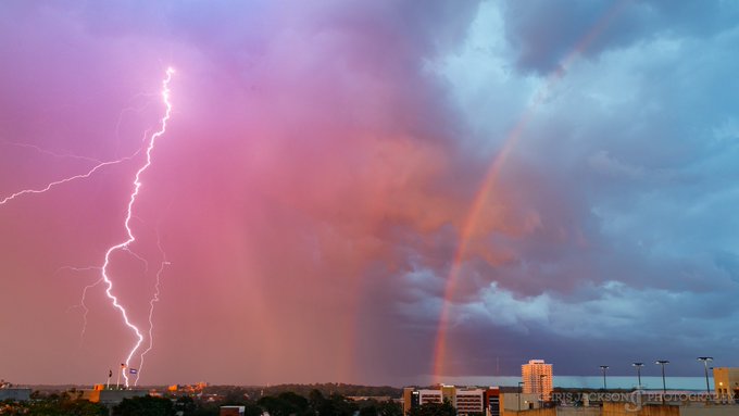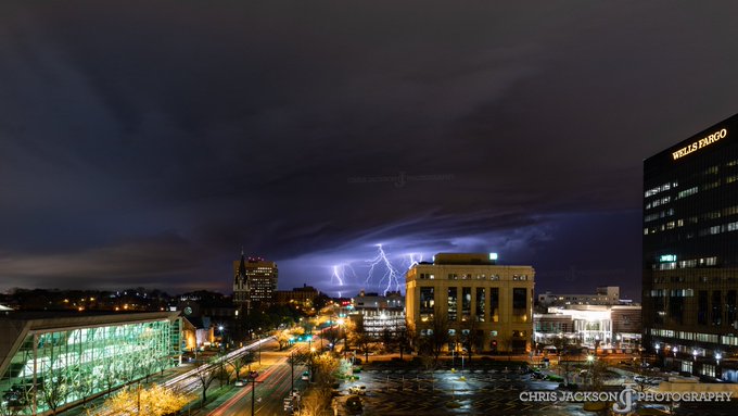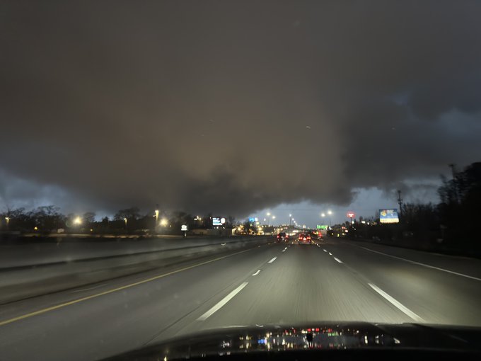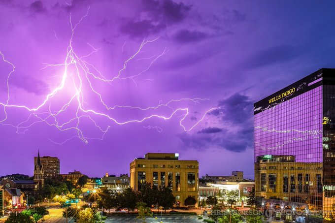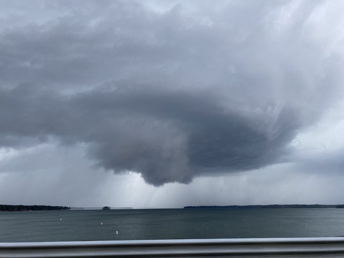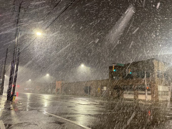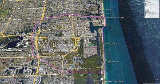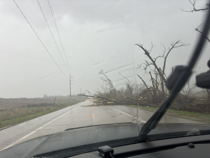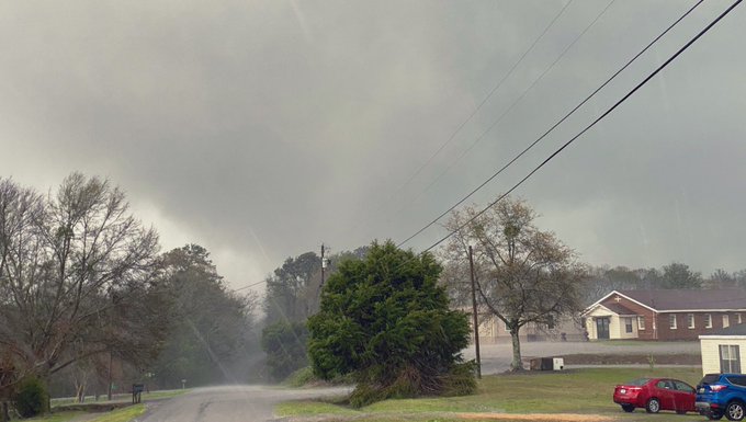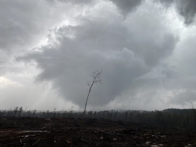

☈ Chris Jackson ☈
@ChrisJacksonSC
20,945
Followers
3,896
Following
13,453
Media
50,360
Statuses
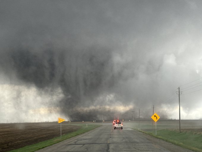
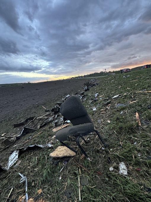
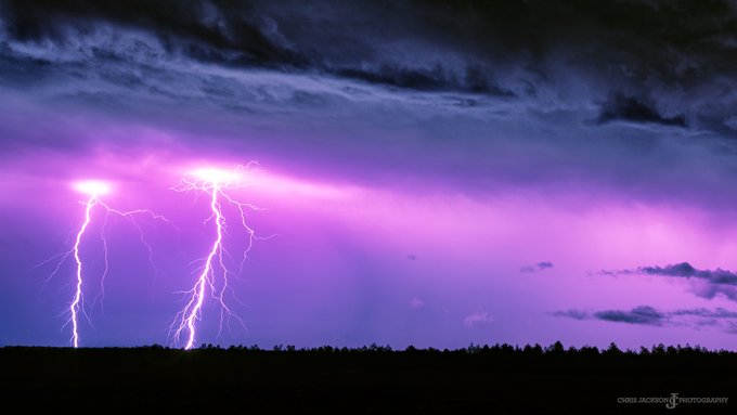
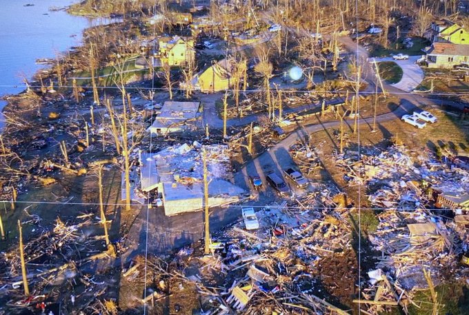
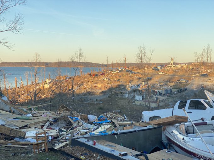
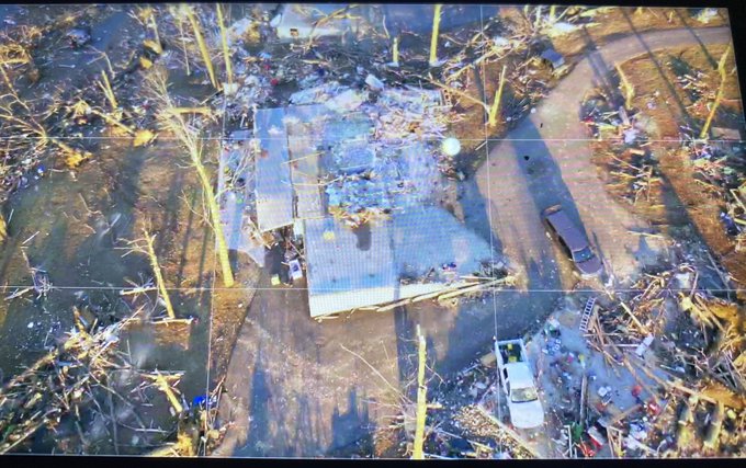
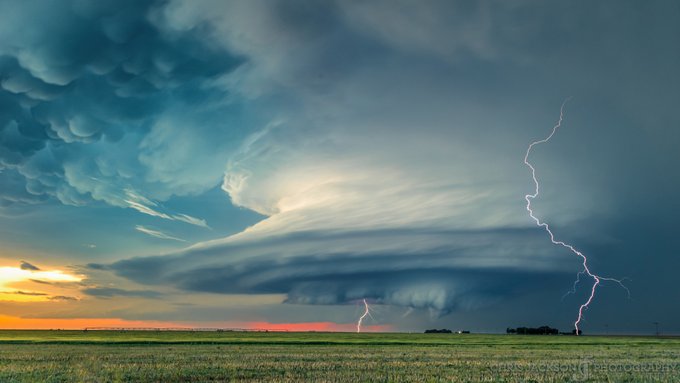
Meteorologist @GamecockBasebll Social/Web: @LiveStormsMedia FB: @MySCWeather Chaser of Storms. I like big clouds and I cannot lie.
Don't wanna be here?
Send us removal request.


![[H] Karin.](https://pbs.twimg.com/profile_images/972297098291945472/eBVU-vDv.jpg)