
Alex Staarmann
@alexstaar_wx
1,586
Followers
614
Following
1,007
Media
6,906
Statuses
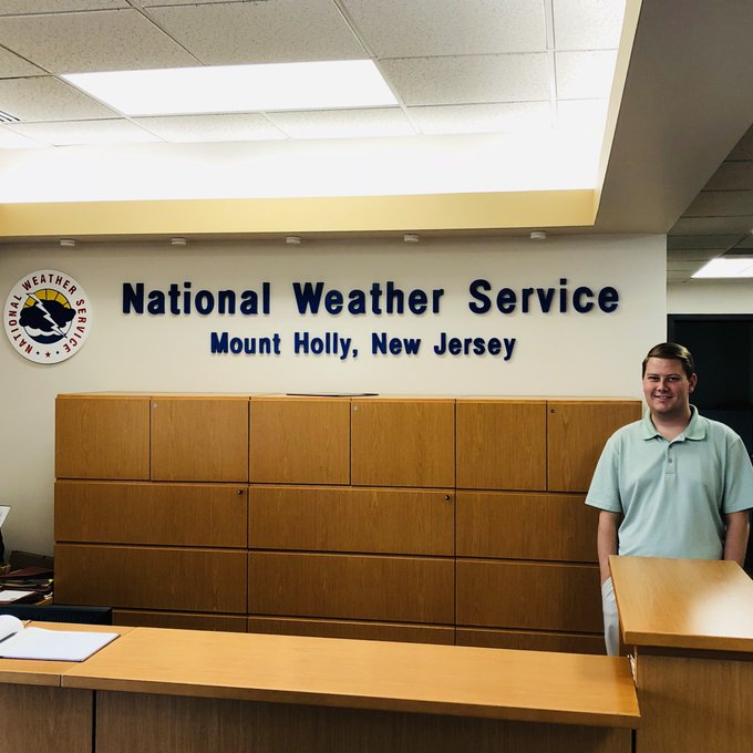
NWS Meteorologist @NWS_MountHolly . Atmospheric Science Masters student @UAHSWIRLL . B.S. UAH May 2016. Greenville, SC native. Go Tigers 🐯! Opinions are my own.
Mount Holly, NJ
Joined February 2012
Don't wanna be here?
Send us removal request.