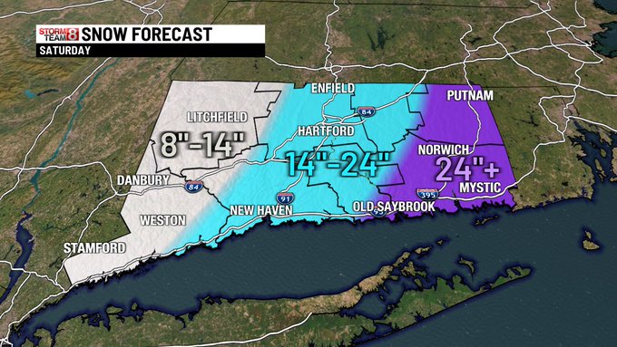

Sam Kantrow
@SamKantrow
7,174
Followers
101
Following
4,287
Media
19,888
Statuses
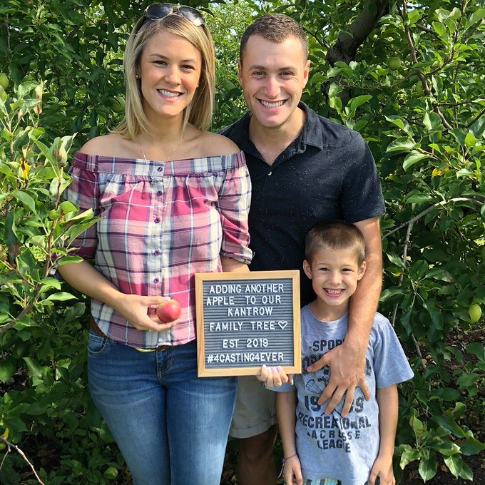
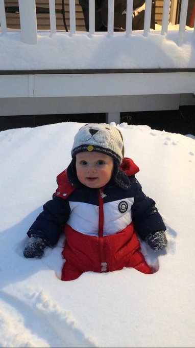
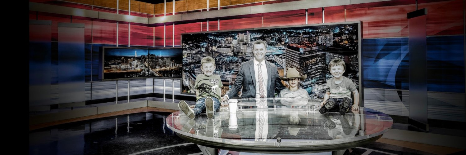
TV Meteorologist @WFSBnews , multimedia journalist, commercial drone photographer, dad of 3 boys. I'll mostly show pics of my kids tbh
Don't wanna be here?
Send us removal request.