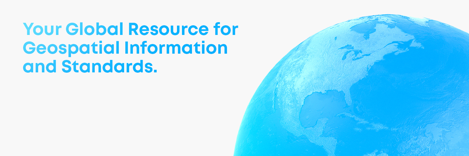

Open Geospatial: OGC
@opengeospatial
27,512
Followers
250
Following
2,038
Media
6,418
Statuses
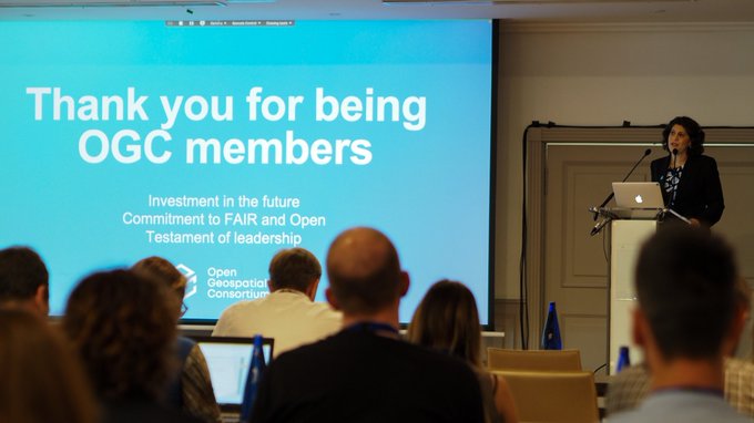
OGC’s member-community of experts makes location data Findable, Accessible Interoperable, and Reusable (FAIR) through #innovation #collaboration and #standards
Don't wanna be here?
Send us removal request.