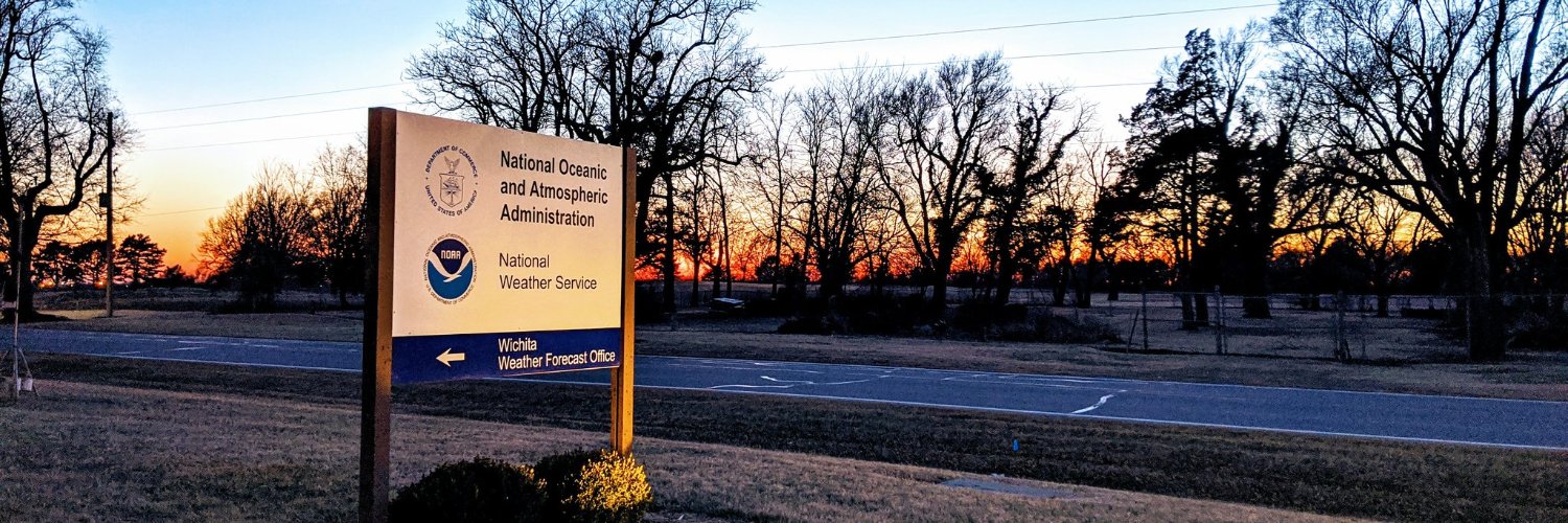
NWS Wichita Profile Banner
NWS Wichita Profile
NWS Wichita

@NWSWichita

46,020
Followers
254
Following
25,629
Media
43,588
Statuses

Official Twitter account for the National Weather Service Wichita. Details: http://t.co/KKTK7cZlhK

Wichita, KS
Joined June 2012
Don't wanna be here? Send us removal request.
@NWSWichita
NWS Wichita
23 minutes
A few severe storms are possible Tuesday late afternoon and evening across eastern Kansas. The primary hazards will be large hail, damaging winds and heavy rainfall. #kswx
Tweet media one
0
1
3
@NWSWichita
NWS Wichita
24 minutes
Cooler temperatures are expected area wide on Wednesday with a few storms possible over far southeast Kansas. #kswx
Tweet media one
2
1
3
@NWSWichita
NWS Wichita
11 hours
Seasonably warm temperatures will prevail this week, with continued chances for late day storms over mainly eastern and southeast Kansas. #kswx
Tweet media one
0
4
8
@NWSWichita
NWS Wichita
11 hours
A few severe storms are possible Tuesday afternoon and evening across eastern Kansas. The primary hazards will be large hail and damaging winds, although an isolated tornado can't be ruled out. #kswx
Tweet media one
0
5
10
@NWSWichita
NWS Wichita
11 hours
It will be a much quieter day today, with afternoon temperatures climbing into the 70s and 80s. A lone afternoon-evening thunderstorm can't be completely ruled out, but this chance is small. #kswx
Tweet media one
0
2
6
@NWSWichita
NWS Wichita
12 hours
It's a bit windy across southeast Kansas this morning. 45 to 55 mph wind gusts are possible across the southeast Kansas over the next couple of hours. #kswx
@iembot_ict
IEMBot ICT
12 hours
GUSTY WINDS OCCURRING ACROSS SOUTHEAST KANSAS for Allen, Labette, Montgomery, Neosho, Wilson, Woodson [KS] till 6:30 AM CDT
Tweet media one
0
0
0
0
0
2
@NWSWichita
NWS Wichita
18 hours
Scattered strong to severe storms will remain possible through about 2 am across south central and eastern Kansas. The main threats will be damaging winds and perhaps some large hail. Heavy rainfall may also result in lowland flooding. #kswx
Tweet media one
2
8
20
@NWSWichita
NWS Wichita
19 hours
While additional scattered strong to severe storms are possible over the next few hours, we are NOT expecting the high-end, widespread severe storms like we did earlier. #kswx
@NWSWichita
NWS Wichita
19 hours
A severe thunderstorm watch has been issued for parts of Kansas and Oklahoma until 2 AM CDT
Tweet media one
4
12
12
3
11
20
@NWSWichita
NWS Wichita
19 hours
Vigilancia de Tormenta Severa ha sido emitida para partes de Kansas y Oklahoma hasta las 2 AM CDT
Tweet media one
0
0
1
@NWSWichita
NWS Wichita
19 hours
A severe thunderstorm watch has been issued for parts of Kansas and Oklahoma until 2 AM CDT
Tweet media one
4
12
12
@NWSWichita
NWS Wichita
19 hours
60 mph winds and quarter sized hail have entered northwest portions of Woodson County. Possible impact times: Yates Center at 9:25 PM CDT, Neosho Falls at 9:30 PM CDT, Iola at 9:40 PM CDT, and Moran at 9:55 PM CDT. #kswx
1
2
12
@NWSWichita
NWS Wichita
20 hours
A line of severe storms will continue to move eastward across the Flint Hills and eastern Kansas through the late evening. The main threats will be damaging winds and perhaps some large hail. Heavy rainfall may also result in lowland flooding this evening. #kswx
Tweet media one
2
5
15
@NWSWichita
NWS Wichita
20 hours
60-70 mph winds and quarter sized hail are likely to impact Eureka and locations in northern Greenwood County over the next 30 minutes or so. Possible impact time for Eureka around 8:50PM, Hamilton around 8:55 PM CDT, Madison around 8:55 PM CDT, Virgil around 9:05 PM CDT. #kswx
2
4
9
@NWSWichita
NWS Wichita
20 hours
Aviso de Tormenta Severa incluye El Dorado KS, Eureka KS, Cottonwood Falls KS hasta las 9:45 PM CDT. ¡Esta tormenta contiene ráfagas de vientos de 70 MPH!
Tweet media one
1
0
2
@NWSWichita
NWS Wichita
20 hours
Severe Thunderstorm Warning including El Dorado KS, Eureka KS and Cottonwood Falls KS until 9:45 PM CDT. This storm will contain wind gusts to 70 MPH!
Tweet media one
0
1
4
@NWSWichita
NWS Wichita
21 hours
Aviso de Tormenta Severa continúa El Dorado KS, Andover KS, Augusta KS hasta las 8:45 PM CDT. ¡Esta tormenta destructiva contiene ráfagas de vientos de 90 MPH!
Tweet media one
0
1
4
@NWSWichita
NWS Wichita
21 hours
Severe Thunderstorm Warning continues for El Dorado KS, Andover KS and Augusta KS until 8:45 PM CDT. This destructive storm will contain wind gusts to 90 MPH!
Tweet media one
1
7
15
@NWSWichita
NWS Wichita
21 hours
Storms continue to move rapidly eastward. 70 to 90 mph winds are approaching the Kansas Turnpike within the next 10 minutes! This includes El Dorado, Cassoday, and Matfield Green as soon as 8:20-8:30 PM CDT. #kswx
2
12
27
@NWSWichita
NWS Wichita
21 hours
Aviso de Tormenta Severa incluye El Dorado KS, Andover KS, Augusta KS hasta las 8:45 PM CDT. ¡Esta tormenta destructiva contiene ráfagas de vientos de 90 MPH!
Tweet media one
0
2
0
@NWSWichita
NWS Wichita
21 hours
Severe Thunderstorm Warning including El Dorado KS, Andover KS and Augusta KS until 8:45 PM CDT. This destructive storm will contain wind gusts to 90 MPH!
Tweet media one
3
5
19