
Jamon Van Den Hoek
@JamonVDH
2,180
Followers
1,351
Following
290
Media
1,806
Statuses
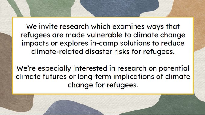
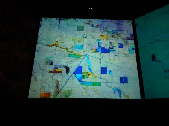
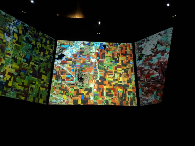
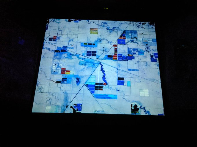
Conflict Ecology • Monitoring armed conflict, refugee landscapes, and long-term enviro change from space • Assoc Prof of Geography at Oregon State
Don't wanna be here?
Send us removal request.