Official account of the 
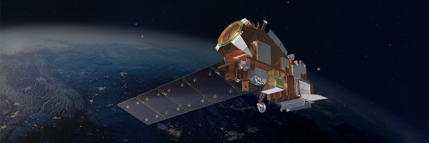
Joint Polar Satellite System (JPSS). A collaborative
@NOAA
and
@NASA
program for latest generation of polar-orbiting weather satellites.
Find out what it would be like to see
@NOAA
's JPSS or GOES satellites in your living room, or at the
@NASA
Goddard Visitor Center, with NOAA &
@NASA
's newest AR app! 📱 🛰️
Download here:
Celebrate Teacher Appreciation Week with Earthrise! This
@NASA
newsletter provides monthly Earth and climate science resources for K-12 educators. Enhance your teaching and deepen students' understanding of our planet and beyond.
For more, visit:
Time for a
#WhereInTheWorld
Wednesday quiz! 🗺️🔍
Yesterday, the
#NOAA21
🛰️ had an clear view of this large icy lake in the province of Manitoba, Canada.
In honor of Teacher Appreciation Week, check out
@NOAA
's JPSS Program education page for
#STEAM
resources and lesson plans for grades K-12.
Spark creativity in young learners with activities focused on science and art!
Explore more:
It's
#WhereInTheWorld
Wednesday! 🤠🎉
Seen here on April 4 by
#NOAA20
, is a mountain range in the Maghreb in North Africa, which separates the Sahara Desert from the Mediterranean Sea and the Atlantic Ocean.
In images from April 22 to 24, 2024, the
#NOAA20
satellite captured a large dust plume moving from Northern Africa across the Mediterranean Sea into Europe.
Take a look back at some of the beloved places captured by the public in the “JPSS Place You Love Challenge," featured during the JPSS-2 Launch.
These photos highlight some of the places that
@NOAA
’s JPSS Program satellites help protect. 🌎❤️
Watch here:
Going outside to enjoy the warmer weather? Take a closer look around you with a downloadable journal from
@JPSSProgram
! 👀
Guided observation prompts in this nature journal can help you to be more mindful of local environments, habitats & weather. 🌳🐦
Last Friday was
#ArborDay
! 🌳
@NOAA
’s JPSS Program satellites aid in observing Earth’s vegetation & wildfires. Explore this JPSS Printing Tree Rings activity and learn how to calculate a tree’s age:
You can now view
#NOAA21
imagery on the VIIRS Imagery Viewer! This image is from Friday April 26th. Access a 7-day archive of Suomi-NPP, NOAA-20 and NOAA-21 data at
A dense smoke plume from a large bushfire in Western Australia's Great Southern region was captured by the
#NOAA20
satellite on April 26, 2024, as it spread over the southwestern coast.
.
@NOAA
scientists have confirmed that a global
#CoralBleaching
event is occurring for the fourth time on record.
Learn more about how heat stress is affecting the world's
#coral
reefs in this week's
#EarthFromOrbit
video:
It's a perfect spring day in the
#GreatLakes
! Flowers are blooming everywhere, trees are beginning to leaf out, winds are light and afternoon temperatures are seasonable. Plus, not a cloud in the sky, per this pristine view provided by
#NOAA20
.
Another striking overnight scene with several light sources at play in DNB imagery starting with a broad
#AuroraBorealis
over Canada to lightning streaks in the central U.S. amidst anvil cloud tops illuminated by moonlight. City lights and fracking flares also dot the landscape.
A curious ring of warm water was revealed in southern Lake Michigan Thursday afternoon via
#NOAA20
VIIRS derived Lake Surface Temperatures. Can you guess what caused it? Think on this a bit then learn the answer on the CIMSS Satellite Blog at
#WIwx
#MIwx
Take Your Child to Work Day is here!
Henry Hope, Low Earth Orbit (LEO) Associate Director of Strategic Partnerships, shares, "I love the opportunity to nerd out and bond with my children over the ‘coolness’ of science by bringing them into work." 👨👧 🛰️
Time for a
#WhereInTheWorld
Wednesday quiz! 🗺️🔍
Yesterday, the
#NOAA20
🛰️ had a clear view of this string of islands in the Gulf of St Lawrence. An archipelago that has been considered, for more than 400 years, as one of the richest marine regions of Eastern Canada.