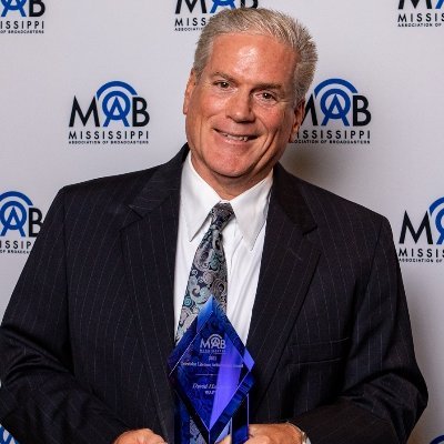
Multi award winning Chief Meteorologist @ WAPT for 37 years. Mississippi's most experienced broadcast meteorologist. Saints fan & dog/corgi lover. PSU '83.
***IMPORTANT***. Southeast Louisiana residents should NOT evacuate into the Jackson area. We are in the path of the storm and power outages are possible. Best place to go is west to Texas.
I am so sad to report Stephanie Bell Flynt has died. Her first day on air at WAPT was the same as mine back in September of 1986. She has been fighting cancer for several years.
Finish preparing for Monday's storm this morning. A bit of an appetizer today with some light freezing rain that will cause a light glaze. I can't stress enough the severity of the incoming storm. Most will not have seen ice like this before. Epic storm coming.
Sometimes there can be "too much wind energy". The air mixes dry air from above to the surface. This can limit severe weather and something that is possible Wednesday afternoon. Watch for updated information from a TRUSTED source!
We lost our sweet Dory last week. It was not unexpected as she had been not doing well for some time but it has been difficult none the less. She started the corgi craze in our family.
Always make sure you get important weather information from a TRUSTED SOURCE. Too many wanna be Twitter Meteorologists post bad information with parameters calling for severe weather outbreaks when that is not the case. Stay informed with a trusted source of information.
5.1" of snow is the Jackson total. Most snow on a calendar day in 20 years...2nd biggest December snow 7.5" 12/22/1929)...most snow recorded this early in the season. Previous was 12/14/1997 with 4.8"
Congratulations to my friend and "side-kick"
@AdamMac_WAPTWx
on a job WELL DONE Thursday. In reviewing tornado confirmation reports we were all over this event with exceptional forecasting skills and insight of the tornadoes. I remember talking about each and every storm!
While it is difficult to predict damage. Ida certainly appears like it will be our worst storm since Katrina. Finish preparing today. Wide spread power outages are expected.
Disregard what I said earlier this week. Another bout of lows in the 50s does look possible next week! Cold closed low over the east coast will throw cooler weather back this way next week.
Some incorrect info has been tweeted about Barnett Bend in Rankin County. The Rankin Sheriff's are NOT EVACUATING the neighborhood. ONLY THE BACK STREET NESR THE RIVER IS BEING ASKED TO LEAVE AS A PRECAUTION. we have talked to Sheriff Bryan Bailey and he confirms this.
As we head into tomorrow, we are looking at a very dangerous situation. All ingredients are there for an outbreak of severe weather across parts of the southeast. Large hail, intense damaging winds, and tornadoes (many could be strong and long-lived) are highly likely.
#mswx
Pearl is at 35.8 feet. A little under a foot of where it is forecast to be at this time! That is good news! I expect the crest to be lowered with the new forecast this morning. That should come out by 10AM.
Preliminary ratings on a couple of the long track super cells that started in MS. Lots still to be determined. I think the one with a ? will be an EF4.
My forecast for a "COOL" start to August is still looking good. This is the NWS 6-10 day forecast outlook. Next week will feature several days sub 90 for highs.